 For Sale Land 1 / 10 photos
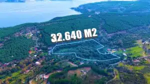
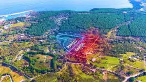
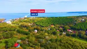
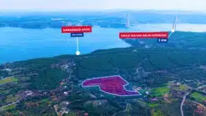
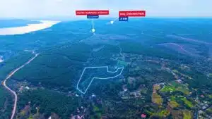
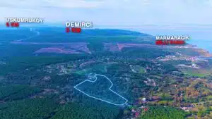
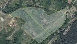
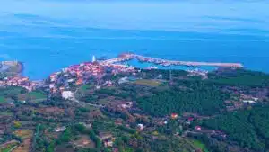
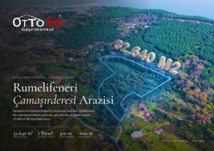
A 32,640 m² plot of land in Rumelifeneri, 400 m from the village, situated between the Bosphorus and the Black Sea
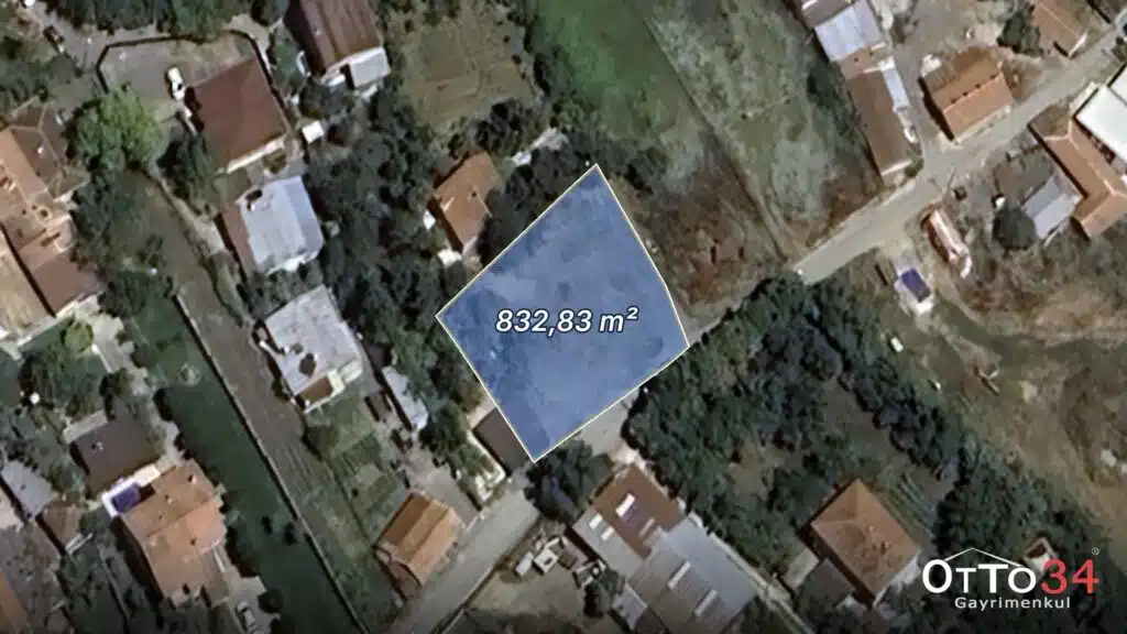
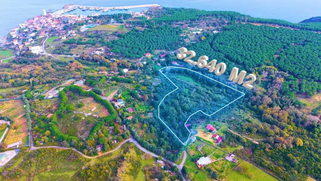
What makes this plot stand out is its location in Istanbul, the likes of which are now almost unheard of: at the point where the Bosphorus opens onto the Black Sea, just 400 metres from the village of Rumelifeneri. The cohesive 32,640 m² site, comprising two adjoining plots, is largely zoned for residential and day-use purposes under the 2009-approved conservation master plan. As the detailed development plan has not yet been drawn up, this currently represents a long-term investment; however, given that new development is very limited along this stretch, once the planning process is complete, it will represent a rare opportunity for a plot suitable for a villa or boutique accommodation.
Description
Between the Bosphorus and the Black Sea, 400 metres from the village: 32,640 m² plot
In Sarıyer’s Rumelifeneri, at the point where the Bosphorus opens onto the Black Sea, 400 metres from the village of Rumelifeneri, a 32,640 m² plot comprising two adjoining parcels is now on the market. Surrounded by woodland, the sea and the historic village landscape, this cohesive site is one of the very few options available in the region on this scale.
Plot Details
- Location: Istanbul / Sarıyer / Rumeli Feneri – Çamaşırderesi Area
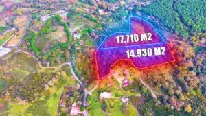
- Plot 52: 17,710 m²
- Parcel 53: 14,930 m²
- Total area: 32,640 m² · the two plots are adjacent to one another
- Land registry classification: Agricultural land · Sheet 2 (unnumbered plots)
Planning Status
- The land falls within the scope of the 1:5,000-scale Rumelifeneri Rear View and Impact Zone Conservation Master Plan, approved by the Istanbul Metropolitan Municipality (İBB) in 2009.
- Approximately 83 per cent of the plots are designated in the plan as ‘Areas with Restricted Development Due to Natural Values, Subject to Special Building Conditions’: residential use and day-use facilities such as restaurants and cafés may be permitted.
- Development conditions: Max. Floor Area Ratio (FAR) 0.05 · Building Coverage Ratio (BCR) 0.10 · Maximum Height (Hmax) 6.50 m
- Approximately 7 per cent of the area lies within the Çamaşır Deresi flood protection zone.
- The area is situated within the Bosphorus Impact Zone and a natural conservation area. The 1/1000-scale implementation zoning plan has not yet been approved; approval of this plan is required for a building permit.
Location Advantages
- Walking distance to the village: Rumelifeneri village 400 m, the harbour and lighthouse approximately 1 km
- Close to the sea: approximately 600 m from the Black Sea coast
- Easy access: Yavuz Sultan Selim Bridge 3 km away, connection to the Northern Marmara Motorway, Istanbul Airport approximately 30 km away
- Surroundings: Garipçe 1.7 km · Koç University 3 km · Demirci 3 km · Uskumruköy 6 km
- Permanent natural environment: A stretch where new development is limited due to the northern forests and conservation measures
Key Information
| Location | Sarıyer / Rumelifeneri (Çamaşırderesi Area) |
|---|---|
| Transaction | For sale |
| Type | Land – Field |
| Area | 32,640 m² (17,710 + 14,930) |
| Parcel | 52 and 53 (unnumbered) |
| Map Sheet | 2 |
| Plan | 1/5000 Conservation-Oriented Master Plan |
| Plan Function | Area with Restricted Development Due to Natural Values, Subject to Specific Building Conditions (~83 per cent) |
| Development Conditions | Max. Floor Area Ratio (FAR) 0.05 · Building Coverage Ratio (BCR) 0.10 · Maximum Height (Hmax) 6.50 m |
| Implementation Zoning Plan | Not yet approved |
| Conservation Status | Natural conservation area · Bosphorus Impact Area |
Sales Information
Sale price: 555,000,000 TL
A cohesive plot of land at the point where the Bosphorus meets the Black Sea, offering long-term value potential. Please contact Otto34 Real Estate for a detailed presentation dossier containing title deed information, planning status and a regional survey, as well as drone photographs and video footage.
Planning and site information has been compiled from the relevant authorities’ online systems and is provided for information purposes only; it does not constitute an official planning status document.
Features
Who is it suitable for?
Area note
Rumelifeneri is one of Istanbul’s most distinctive villages on the Black Sea coast, with its historic lighthouse, castle and fishing harbour. Surrounded by Garipçe, Demirci and Uskumruköy, the area is swiftly connected to Istanbul Airport and both sides of the Bosphorus thanks to the Yavuz Sultan Selim Bridge and the Northern Marmara Motorway. Nestled within the northern forests and subject to conservation measures that limit new development, this area is characterised by a very limited supply of property.

Similar properties
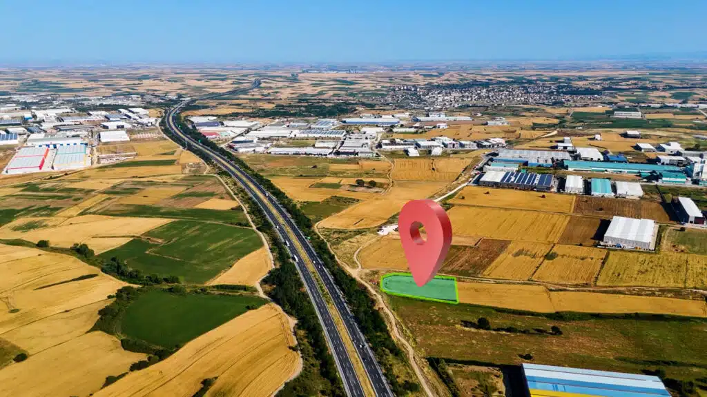
5,099 m² industrial plot facing the TEM Motorway in Veliköy, Çerkezköy
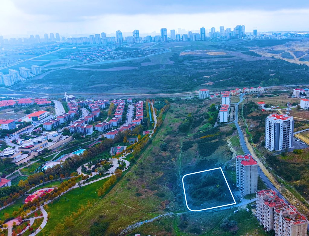
A 2,808 m² corner plot with residential planning permission, overlooking a park on the outskirts of Bahçeşehir